
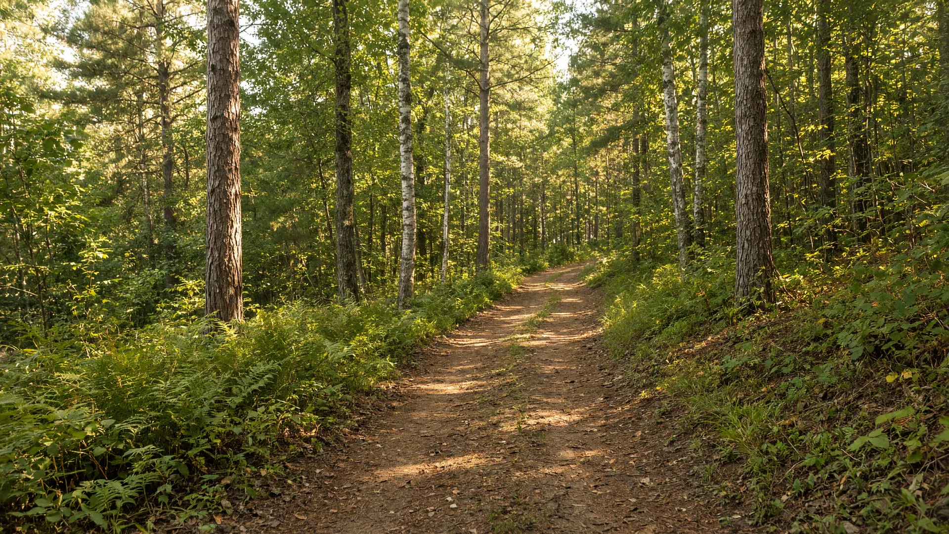
Hiking trails around Spooner.
The trails around Spooner do not require a long drive, and that is the whole point. There is a park network in town with about six miles of trail, hilly county-forest walking at Beaver Brook, a National Park Service loop along the Trego Flowage, and a 600-acre nature center in Sarona. This guide covers where they are, how hard they are, and what makes each one worth your boots.
All Spooner field guidesIn town
College Street and Spooner City Park.
The closest trail network to the property is also the most used in town: the College Street and Spooner City Park system, a set of interlocking paths that locals walk, jog, and bike all week. The park holds roughly six miles of trail, and the same network carries about seven kilometers of groomed skate and classic ski trail once the snow flies, with sections lit for early-dark winter evenings.
For a family afternoon or a quick after-work loop, this is the place: easy grades, close parking, and enough route variety that you can take a different walk every day of the week. It is the Northwoods version of a town green, and it is where you will actually see your neighbors.
The hilly one
Beaver Brook Trail and Wildlife Area.
Off Highway 53 on Cranberry Marsh Road, the Beaver Brook Trail and Wildlife Area is the trail system with some leg to it. The route is rolling and hilly by Northwoods standards, with lakes and streams threading through, and it is a wildlife area first, so expect deer, songbirds, and, in the wetter corners, one of the area's blue heron rookeries.
The hilly terrain is exactly what makes it a favorite in winter too, when the same trails are classic-groomed for cross-country skiing and open for snowshoeing. For hikers, spring through fall, it is the closest real workout to town, and the Wild Rivers State Trail corridor runs nearby, with trail access pull-offs on the southeast side of Spooner for when you want to go long and flat instead.
Out on 70
Nordic Woods and Trego Lake.
On Highway 70 between Spooner and Stone Lake, the Nordic Woods Trail is a roughly 15-kilometer loop pitched at beginner and intermediate skiers, groomed as a classic loop once the snow settles. It is the gentlest of the out-of-town systems, which is a compliment: forgiving grades, open woods, and a layout that works for teaching kids or taking a long glide without drama.
On the river side of town, the Trego Lake Trail gives you something rare: a National Park Service hiking loop, about 3.5 miles, circling along the Trego Flowage on the Namekagon River. Managed by the NPS as part of the riverway, it is a water-view walk rather than a hill workout, and it pairs beautifully with a morning paddle or a picnic at the landing. Both trails are marked on the Washburn County trails map, and the Trego Lake Trail is an easy one to bring visitors on.
The nature center
Hunt Hill Nature Center, 600 acres in Sarona.
Twenty minutes from Spooner in Sarona, Hunt Hill Nature Center is 600 acres of preserved woods, wetlands, and glacial lakes with about seven miles of named trails, open free to the public from sunrise to sunset. The family favorite is the short Barred Owl and Discovery Trail, with a monthly changing "hidden item" hunt on the path. The longest route, the Bear Trail, crosses footbridges and loops past four glacial lakes, which is the best one for a real outing.
Several of the easy loops, including the Barred Owl Trail, are navigable by golf cart or all-terrain wheelchair, so it is one of the few places nearby where the whole family can hike together regardless of wheels or legs. In winter the property stays open for foot travel, snowshoeing, and cross-country skiing, though the trails are not groomed, so expect the natural stuff. Their website has the trail map and the current program calendar.
Wide-open walking
Namekagon Barrens Wildlife Area.
For something entirely different from the forest trails, the Namekagon Barrens Wildlife Area spans more than 6,000 acres across Washburn and Burnett counties, managed by the DNR for deer, turkey, bear, and, most famously, the largest sharp-tailed grouse population in Wisconsin. The barrens are open country, with miles of quiet access roads and walking routes through a landscape that feels bigger than the county around it.
This is not a signed trail system, it is a wildlife area, so you walk with the seasons: wildflowers in spring, grouse drumming in May, and in fall, the sharp-tails and migrating birds. Bring binoculars and a map, and you can have a 6,000-acre walk almost entirely to yourself.
The big one
The Ice Age National Scenic Trail.
Wisconsin's Ice Age National Scenic Trail is a nearly 1,200-mile footpath that traces the farthest reach of the last continental glacier, the moraine line where the ice stopped about 12,000 years ago. It is one of only a handful of National Scenic Trails, and it is a Wisconsin original: the trail exists because the glacier left a story in the land, and the trail follows it across the state.
It is worth being precise about one thing: the trail does not run through Spooner. Its far northern end touches southeastern Washburn County, and the nearest certified segments are a short drive south off US-63. The Grassy Lake Segment is about 8 miles through the Washburn County Forest near Shell Lake and Sarona, roughly 15 miles from Spooner, with parking at both ends. The Bear Lake Segment runs about 5 miles through the Barron County Forest, and the Tuscobia Segment is an 11-mile certified stretch along the Tuscobia State Trail corridor, where the trail crosses the Red Cedar River at its northernmost point.
For a first taste, take the Grassy Lake Segment: real Ice Age country, honest trail, and close enough for a full day trip from the house. The Ice Age Trail Alliance and the National Park Service both publish segment maps and current conditions.
The long flat option
And the Wild Rivers State Trail, through town.
The Wild Rivers State Trail is a 104-mile former railroad corridor running from Rice Lake north to the Superior area, and it passes right through Spooner along the old railbed by Highway 53. It is the region's long-flat option: hike, walk, or ride it in town, and follow it out of town for a day trip or a longer tour. The surface is compacted gravel, so it suits walkers, hybrid bikes, and off-road bikes better than skinny-tire road bikes.
It is also one of the more social trails in the county: ATVs use it year-round, snowmobiles take over in winter, and in the warmer months you share it with runners, riders, and the occasional horse. Managed by Washburn County, with parking and access right in Spooner, it is the trail you point visitors at when they want to see the country without a climb.
Official sources for this guide
Keep exploring
More of the lake country.
Wildlife and nature around Spooner
Deer at the property line, wild trout in the creek, and sandhill cranes at Crex Meadows.
Read onWinter in the Spooner country
The same trails turn into groomed ski loops and snowshoe routes when the snow comes.
Read onOutdoor recreation, four seasons
The full year of trails, water, and winter sport around N6101 9th St.
Read onCome see it for yourself.
The best guide to Spooner is a day spent in it. If you are house-hunting in the area, send a note and we will map your afternoon around what you love.
Ask a local