
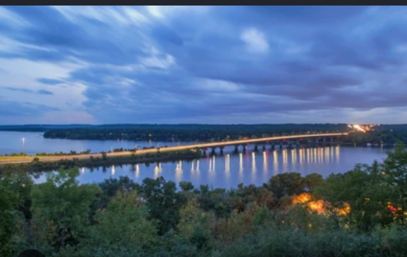
The Namekagon River.
The Namekagon is the river that gave Spooner its canoe heritage: about 100 miles from its headwaters at Namekagon Lake to where it meets the St. Croix. It is part of the St. Croix National Scenic Riverway, a National Wild and Scenic River, and locals call it Wisconsin's moving national park, because the river itself is the park. These are the stretches we paddle, the days we fish, and where to put in.
All Spooner field guidesThe river itself
A river that is the park.
In 1968 the Namekagon was one of the original eight rivers in the country designated under the Wild and Scenic Rivers Act, and today it flows inside the St. Croix National Scenic Riverway, managed by the National Park Service. There is no entrance gate and no visitor center at a highway pull-off. The park is the river, and you enter it by boat, by boot, or by rod.
What that means for the water itself: it is shallow and rocky, unsuited to motorboats, and just right for canoe, kayak, and tube day trips. Launch and pull-out sites are everywhere, managed by the state, the counties, and the National Park Service, and you can string together everything from a two-hour float to a multi-day wilderness run. Primitive riverside campsites sit along the corridor for the people who want to sleep where the eagles do.
The moving national park: a hundred river miles of it, an easy drive from the house.
Paddling and tubing
Day trips the whole crew can do.
Most people run the river in pieces, and the pieces are what make it friendly. The stretch from Hayward to Springbrook Landing runs roughly 15.7 miles through relaxed, novice-friendly water. Springbrook Landing to Trego is about 12 to 13 miles of easy class I river with a few faster, narrower spots, and you take out across from the Namekagon River Visitor Center in Trego. Near town, the roughly 11-mile run from County K Landing to Whispering Pines Landing is a favorite local half-day.
Tubers have their own sort of calendar: Trout Run to Hayward, Earl Park to Trego, West River to Springbrook, and Big Bend to Earl to Trego are the sections the outfitters shuttle all summer. If you paddle through the Trego area, watch for the dam and use the portage to keep going through the Trego Flowage, which is where the park's Trego Lake Trail loops along the water.
In Trego you have real outfitters doing the work for you. Jack's Canoe Rental and Log Cabin Resort and Campground rent canoes, kayaks, and tubes and run shuttles, and the National Park Service keeps a current outfitter list on its Namekagon page. On a warm July weekend the river gets social in the popular stretches; go midweek if you want it to yourself.
River fishing
Brown trout, and then some.
The Namekagon holds what the DNR calls world-class brown trout fishing, and it is not a trout-only story: anglers also work it for walleye, smallmouth bass, northern pike, muskellunge, lake sturgeon, and panfish. The river is wadeable in long stretches, which is the whole point of a shallow, rocky bottom: you can get into the current without a boat.
The Namekagon River Fishery Area, a DNR property in eastern Washburn County, exists specifically to give the public access and angling on the river, with an unimproved boat launch and fishing for brown and brook trout, smallmouth bass, muskellunge, walleye, northern pike, and catfish. It is part of a long history: the state started buying this river frontage in the early 1960s so the Namekagon would stay public water, and it has.
The headwaters
Where the river starts: Namekagon Lake.
The river's headwaters sit in the Chequamegon-Nicolet National Forest at the Namekagon Lake Recreation Area, a 3,227-acre lake where the National Forest Service runs a family campground of about 33 sites, a boat ramp with a dock, a fishing pier, and a sandy swimming beach. For a lake-country weekend, it has everything a family needs in one place, and summer days on the beach are about as good as it gets.
The recreation area is north of Spooner, near Cable, with a modest day-use fee for the beach and picnic grounds. Some campsites can be reserved ahead on Recreation.gov, which matters on holiday weekends. The Forest Service page below has the current details, fees, and reservation link.
Planning notes
Start at the river, not the ramp.
- The Trego gateway. The Namekagon River Visitor Center in Trego is the National Park Service's home on this stretch, with river information, maps, and the landing across the road. Stop there first on a first visit.
- Water levels move. Low summer water can turn gravel into a scrape-and-wade day, and spring runs are faster and colder. Check the NPS page for current river levels before you commit a shuttle to a long stretch.
- Camp lightly. The riverside campsites along the riverway are primitive by design. Pack it in, pack it out, and camp only where the park designates.
- The forest owns the far shore. Much of the riverbank is public land through the riverway and the national forest, but not all of it. Stay on the water or on public land, and leave the fences alone.
Keep exploring
More of the lake country.
Lake life around Spooner, a field guide
Spooner Lake, Long Lake, Shell Lake, and the rivers between them: which water is closest and what each is known for.
Read onOutdoor recreation, four seasons
The full calendar of fishing, trails, hunting, snowmobiling, and paddling around Spooner.
Read onA local's list for a Spooner day
Where to eat and what to do in town, from drive-in burgers to the railroad museum.
Read onCome see it for yourself.
The best guide to Spooner is a day spent in it. If you are house-hunting in the area, send a note and we will map your afternoon around what you love.
Ask a local